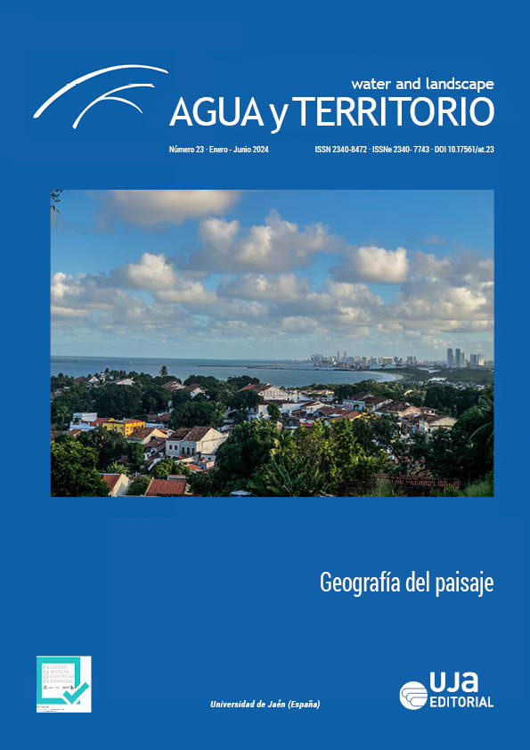
Variabilidad de la vegetación según el régimen de precipitación alrededor del embalse Central Hidrelética Itumbiara – Brasil (2010-2020)
DOI:
https://doi.org/10.17561/at.23.7209Palabras clave:
Índice espectral, NDVI, EVI, UHE, LANDSATResumen
La disponibilidad de datos de Teledetección ha demostrado ser fundamental en la evaluación de la variabilidad diaria, mensual, estacional y anual de los fenómenos que ocurren en la superficie terrestre. En el presente estudio, el objetivo es investigar la variación del paisaje durante la estacionalidad y el régimen de precipitaciones en el entorno del embalse de la Usina Hidroeléctrica Itumbiara - GO. Para ello, se utilizaron imágenes satelitales Landsat 5 (TM) y Landsat 8 (OLI) para evaluar la variabilidad de los índices de vegetación (Enhanced Vegetation Index - EVI - y Normalized Difference Vegetation Index - NDVI), según variación mensual, estacional y precipitación anual. en el período comprendido entre 2010 y 2020. Los datos mostraron una relación inequívoca entre la dinámica de la vegetación y la alternancia y duración de los períodos lluvioso y seco en el área de estudio, con mayor sensibilidad del EVI, en relación al NDVI.
Descargas
Referencias
Jensen, J. R. 2009: Sensoriamento Remoto do Ambiente: uma perspectiva em recursos terrestres. São José dos Campos (Brasil), Parentese.
Justice, C. O., Vermote, E., Townshend, J. R. G., Defries, R., Roy, D. P., Hall, D. K., Salomonson, V. V., Privette, J. L., Riggs, G., Strahler, A., Lucht, W., Myneni, R. B., Knyazikhin, Y., Running, Muller, J., Lewis, P. e Barnsley, M. J. 1998: “The Moderate Resolution Imaging Spectroradiometer (MODIS): land remote sensing for global change research”. IEEE Transactions on Geoscience and Remote Sensing, 36, 1228-1249. 10.1109/36.701075
Rouse, J. W., Hass, R. H., Schell, J. A. e Deering, D. W. 1974: “Monitoring vegetation systems in the Great Plains with ERTS”, en EARTH RESOURCES TECHNOLOGY SATELLITE SYMPOSIUM, n. 3, 1974, Washington. Proceeding., 309-317.
Verona, J. D., Shimabukuro, Y. E. e Santos, J. R. 2005: “Potencialidades das imagens-fração multitemporais TM/Landsat na caracterização de variações fenológicas em área de floresta tropical na Amazônia”, en Simpósio brasileiro de sensoriamento remoto. São José dos Campos, INPE.
Publicado
Número
Sección
Licencia
Derechos de autor 2023 Diego Nascimento

Esta obra está bajo una licencia internacional Creative Commons Atribución 4.0.
© Universidad de Jaén
Los originales publicados en las ediciones impresa y electrónica de esta Revista son propiedad de la Universidad de Jaén siendo necesario citar la procedencia en cualquier reproducción parcial o total.
Salvo indicación contraria, todos los contenidos de la edición electrónica se distribuyen bajo una licencia de uso y distribución “Creative Commons Reconocimiento 4.0 España” (CC-by). Puede consultar desde aquí la versión informativa y el texto legal de la licencia. Esta circunstancia ha de hacerse constar expresamente de esta forma cuando sea necesario.


